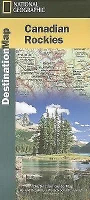
Canadian Rockies: Destination Map by National Geographic Maps (English) Folded B
Canadian Rockies
by
National Geographic Maps
The newly redesigned National Geographic DestinationMaps series strikes the perfect balance between map and guidebook, and they are the ideal resource for touring culturally and geographically unique areas. All maps are double-sided with beautiful photos and detailed travel information, including comprehensive road networks, local information and natural, historical and cultural places of interest. The maps are printed on durable, waterproof, tear-resistant material that is lightweight and easily folded to fit in your pocket. Scale : 1:710,000 Flat Size : 0 x 0 mm.
FORMAT Folded LANGUAGE English CONDITION Brand NewPublisher Description
National Geographic's Canadian Rockies Destination Map strikes the perfect balance between map and guidebook and is an ideal resource for touring this culturally and geographically unique region. Canada's share of the Rocky Mountains averages approximately 100 miles across (160 kilometers) and runs from Waterton Lakes National Park on the Alberta-Montana border northwest toward the Yukon territory. DestinationMaps are condensed guide books that are an ideal resource for touring such culturally and geographically unique regions. Printed on waterproof and tear-resistant material.
Author Biography
Founded in 1915 as the Cartographic Group, the first division of the National Geographic Society, National Geographic Maps has been responsible for illustrating the world around us through the art and science of mapmaking. Today, National Geographic Maps continues this mission by creating the world's best wall maps, recreation maps, atlases, and globes which inspire people to care about and explore their world. All proceeds from the sale of National Geographic maps go to support the Society's non-profit mission to increase global understanding and promote conservation of our planet through exploration, research, and education.
Details
ISBN1597755133
Author
National Geographic Maps
Publisher
National Geographic Maps
Series
Destination Map
Language
English
ISBN-10
1597755133
ISBN-13
9781597755139
Media
Map
Format
Folded
Short Title
MAP-CANADIAN ROCKIES DESTINATI
Illustrations
Yes
DEWEY
917.1
Year
2012
Publication Date
2012-05-31
Pages
1
Imprint
National Geographic Maps
Subtitle
Destination Map
Place of Publication
Evergreen
Country of Publication
United States
US Release Date
2012-05-31
UK Release Date
2012-05-31
Audience
General
AU Release Date
2014-11-30
NZ Release Date
2014-11-30
We've got this
At The Nile, if you're looking for it, we've got it. With fast shipping, low prices, friendly service and well over a million items - you're bound to find what you want, at a price you'll love!
TheNile_Item_ID:47877847;
- Condition: Brand new
- ISBN-13: 9781597755139
- Book Title: Canadian Rockies
- ISBN: 9781597755139
- Publication Name: Canadian Rockies: Destination Map
- Publisher: National Geographic Maps
- Subject: Transportation
- Publication Year: 2012
- Type: Travel Map
- Format: Sheet Map
- Language: English
- Item Height: 235mm
- Author: National Geographic Maps
- Map Scale: 1:710000
- Item Width: 108mm
- Item Weight: 88g
- Number of Pages: 1 Pages
PicClick Insights - Canadian Rockies: Destination Map by National Geographic Maps (English) Folded B PicClick Exclusive
- Popularity - 1 watcher, 0.0 new watchers per day, 142 days for sale on eBay. Normal amount watching. 1 sold, 3 available.
- Best Price -
- Seller - 1,210,113+ items sold. 1.8% negative feedback. Great seller with very good positive feedback and over 50 ratings.
People Also Loved PicClick Exclusive
Canadian Rockies Destination Guide Map National Geographic Map 9781597755139
$26.78 Buy It Now 19d 13h
National Geographic Maps Canadian Rockies (Map) (US IMPORT)
$32.18 Buy It Now 28d 20h
Madrid: Destination City Maps by National Geographic Maps (English) Folded Book
$32.59 Buy It Now 1d 20h
Canadian Rockies Destination Guide Map by National Geographic Maps
$36.27 Buy It Now 25d 7h
Croatia: Travel Maps International Adventure Map by National Geographic (English
$36.37 Buy It Now 10d 21h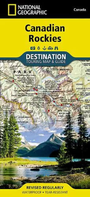
Canadian Rockies: Destination Map by National Geographic Maps (English) Folded B
$36.24 Buy It Now
