St. Lawrence Seaway Cornwall Ontario Canada Navigational Boating Map 1966
$25.53 Buy It Now or Best Offer, Click to see shipping cost, eBay Money Back Guarantee
Seller: fire-king-usa ✉️ (24,193) 100%,
Location: Rochester, New York, US,
Ships to: WORLDWIDE & many other countries,
Item: 374032220474
ST. LAWRENCE SEAWAY CORNWALL ONTARIO CANADA NAVIGATIONAL BOATING MAP 1966 . Vintage St. Lawrence Seaway Cornwall to Cat Island Ontario Canada navigational boating map circa 1966. Published by The Canadian Hydrographic Service of Ottawa. Measures 30 1/2 X 42 inches in size when fully opened (78 X 105cm). Map is an authentic original in good condition as shown in photos.
- Condition: Used
- Condition: No Issues
- Modified Item: No
- Country/Region of Manufacture: Canada
- Region: Canada
- Year: 1966
PicClick Insights - St. Lawrence Seaway Cornwall Ontario Canada Navigational Boating Map 1966 PicClick Exclusive
- Popularity - 0 watchers, 0.0 new watchers per day, 728 days for sale on eBay. 0 sold, 1 available.
- Best Price -
- Seller - 24,193+ items sold. 0% negative feedback. Great seller with very good positive feedback and over 50 ratings.
People Also Loved PicClick Exclusive

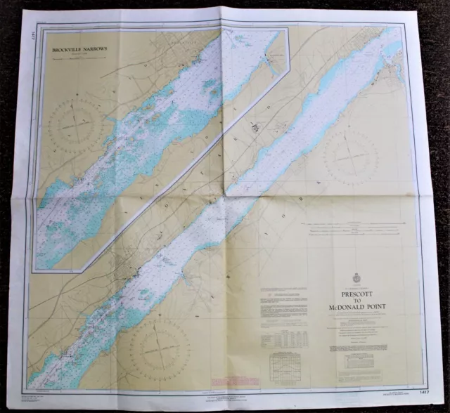
St. Lawrence Seaway Prescott To Mcdonald Pt Canada Navigational Boating Map 1967
$17.02 Buy It Now 20d 1h
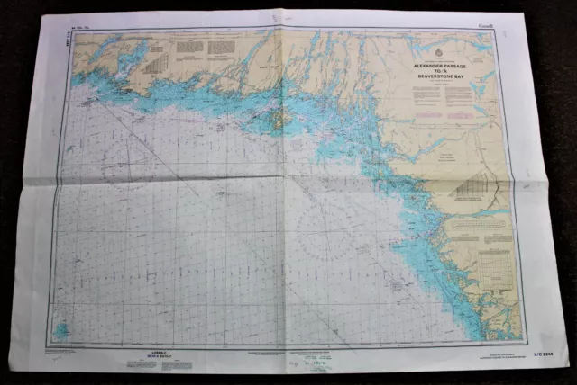
Georgian Bay Ontario Canada Navigational Boating Map 1987 Beaverstone Bay Etc
$25.53 Buy It Now 3d 23h
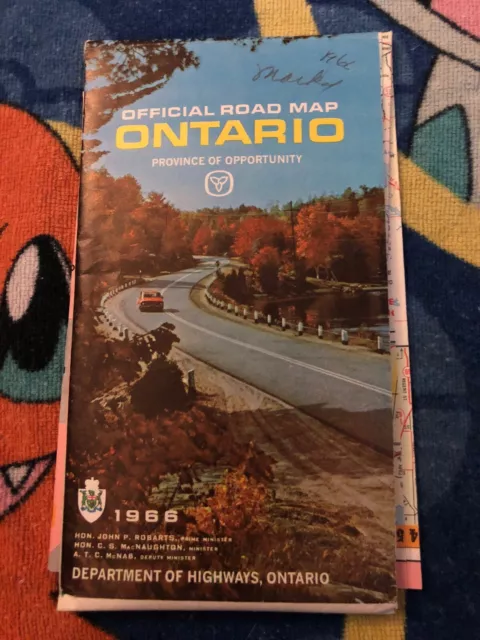
Official Road Map Ontario 1966 Canada
$10.22 Buy It Now 25d 2h
Road Map Ontario Official 1966
$13.61 Buy It Now 7d 7h
Vintage Map 1966 Official Road Map Ontario Canada Department Of Highways Hiway
$34.06 Buy It Now 6d 7h 1 watcher
Cornwall Ontario Canada - St. Lawrence Seaway 1959 - Aluminum
$17.02 Buy It Now 1 watcher
Souvenir Handkerchief St Lawrence Seaway Ontario Quebec Tourist Hanky VTG
$34.05$27.24 Buy It Now or Best Offer
M1790 Canada St Lawrence Seaway Block of 4 unused 5c stamp
$3.70 Buy It Now


