VANCOUVER Island BRITISH COLUMBIA Nautical Chart Canada Map DISCOVERY PASSAGE
Seller: drflock ✉️ (7,802) 100%,
Location: Aurora, Oregon, US,
Ships to: WORLDWIDE & many other countries,
Item: 314850134876
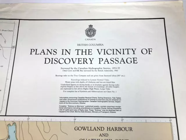
VANCOUVER Island BRITISH COLUMBIA Nautical Chart Canada Map DISCOVERY PASSAGE. Vintage "PLANS in the VICINITY of DISCOVERY PASSAGE", NAUTICAL CHART / Map. - Chart # 3556 - 1973 map w/last corrections 1973, Canadian Hydrographic Service - Measures 31.5" X 24" Condition: - Very Good used condition, minor overall wear around edges and fold creases. - Please see all photos, thanks.
- Condition: Good used condition, but has some rips around edges. Measures 31.5" x 24", 1973 map w/last corrections 1973, Canadian Hydrographic Service. Please see all photos, thanks.
- Country/Region of Origin: Canada
- Military Branch: None
- Original/Reproduction: Vintage Original
- Time Period, War: 1973
- Duncan Bay: Quadra Island, Gowlland Harbour
- Maker: Canadian Hydrographic Service
- Chart: 3556
PicClick Insights - VANCOUVER Island BRITISH COLUMBIA Nautical Chart Canada Map DISCOVERY PASSAGE PicClick Exclusive
- Popularity - 0 watchers, 0.0 new watchers per day, 205 days for sale on eBay. 0 sold, 1 available.
- Best Price -
- Seller - 7,802+ items sold. 0% negative feedback. Great seller with very good positive feedback and over 50 ratings.
People Also Loved PicClick Exclusive

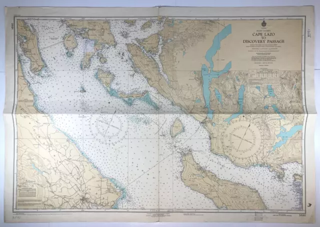
CAPE LAZO Nautical Chart Map VANCOUVER DISCOVERY Island BRITISH COLUMBIA Canada
$40.89 Buy It Now 8d 20h
Vtg OKISOLLO CHANNEL Nautical Chart VANCOUVER Island BRITISH COLUMBIA Canada Map
$40.89 Buy It Now 19d 20h
Vintage NOOTKA SOUND Nautical Chart VANCOUVER Island BRITISH COLUMBIA Canada Map
$40.89 Buy It Now 19d 20h
LAREDO MILBANKE SOUND Nautical Chart MAP Inside Passage BRITISH COLUMBIA Canada
$40.89 Buy It Now 8d 20h
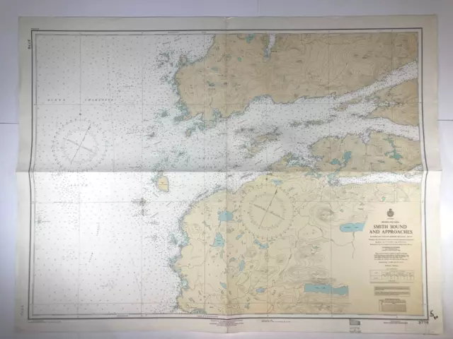
Vtg SMITH SOUND Inside Passage BRITISH COLUMBIA Nautical Chart Canada MAP Boat
$40.89 Buy It Now 28d 17h
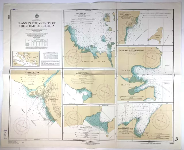
Vtg STRAIT OF GEORGIA Nautical Chart HORSESHOE Bay BRITISH COLUMBIA Canada Map
$51.10$40.88 Buy It Now or Best Offer
Facts and Figures Relating to Vancouver Island and British Columbia: Showing Wha
$57.15 Buy It Now


